Mit dem Laden des Videos akzeptieren Sie die Datenschutzerklärung von Vimeo.
Mehr erfahren
Baseline situation:
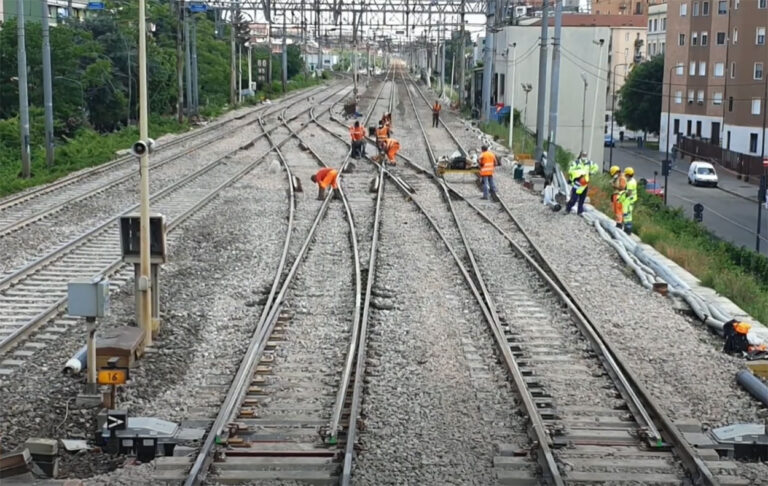
When a network operator wants to modernize its trackage, the required complete survey of the corresponding track section leads to interruptions/track possessions in the ongoing operation. Apart from the enormous planning and time effort required for the manual, i.e. physical performance of track surveys, this creates safety and availability issues especially in case of highly-frequented routes.
Innovative solution:
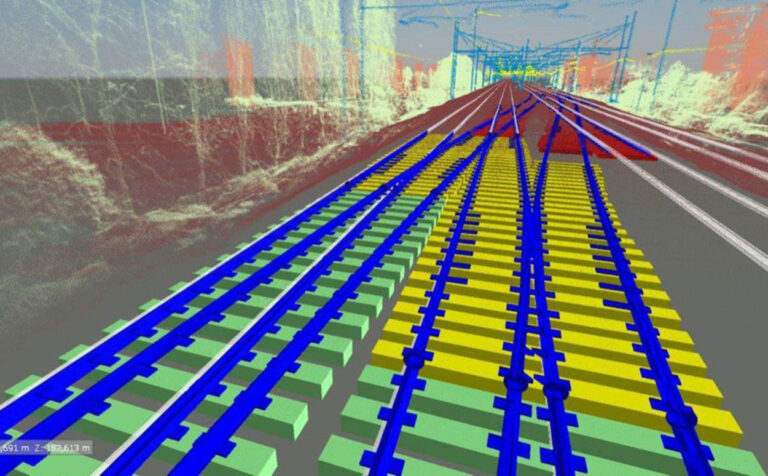
The use of drones and 3D modelling in BIM makes railway refurbishment projects more efficient, safer and more transparent.

Mit dem Laden des Videos akzeptieren Sie die Datenschutzerklärung von Vimeo.
Mehr erfahren
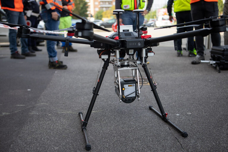
State-of-the-art drone with YellowScan LiDAR solution and
digital orthophoto technology provides a complete and
highly accurate track survey also reflecting the local conditions.
- Safety aspect: No people on track for the measurement & digitization
- Track availability: No track closures or interruptions during measuring & digitization
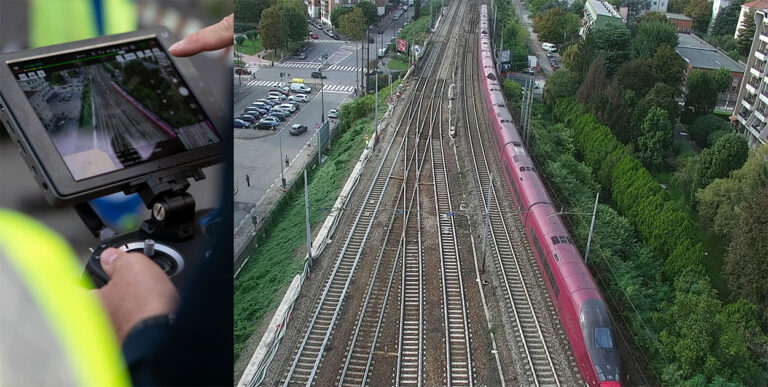
The integration of the data in a building information model (BIM) makes it possible to map potential interfaces or interactions between the new track corridor and the existing infrastructure and its environment in a preliminary design. In addition, the topographic study allows the determination of the optimum track route and an assessment of the effects on the existing infrastructure and the direct surroundings. This then serves as a basis for the exact alignment of the new design solutions with the requirements of the project and the consolidation of these solutions with the customer.
- Detailed mapping of the existing track layout
- Identification of potential geometric interferences
- New turnout configurations can be fully tailored to the section-specific design
- Minimized overall project duration & maximized transparency for all involved parties
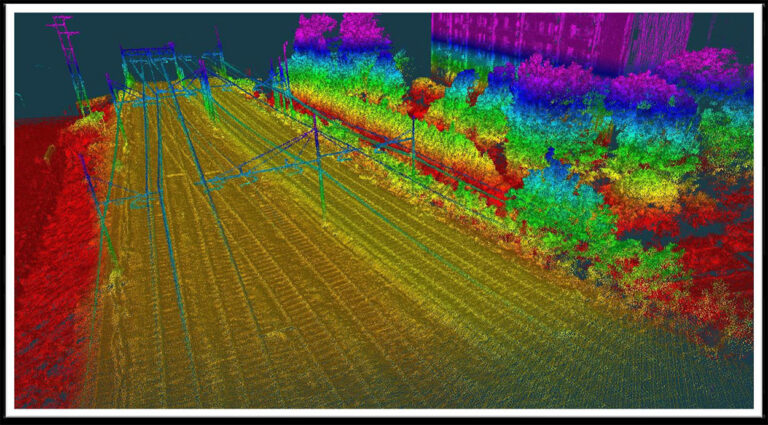
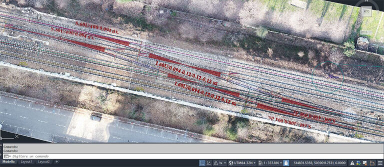
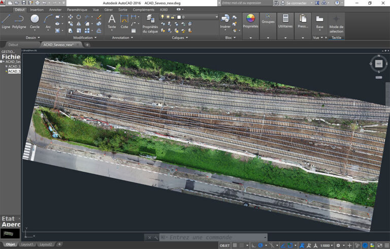
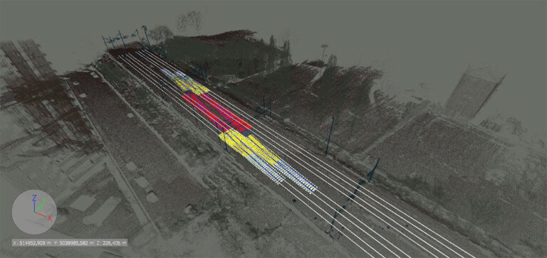
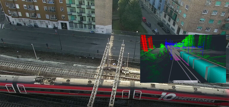
Later in the project, the drone scans in combination with the building information model support the preparation of the turnout installation by providing information on the soil conditions and can also be used to facilitate the planning of access and supply. The project closes with the inspection and the commissioning on the basis of the joint BIM analysis. Thus, the V Drone concept creates a new level of complete transparency throughout the entire project.
- Highest standards of quality and fitting accuracy with low maintenance requirements
- Decisive contribution for increased safety, reliability & capability of the infrastructure
